
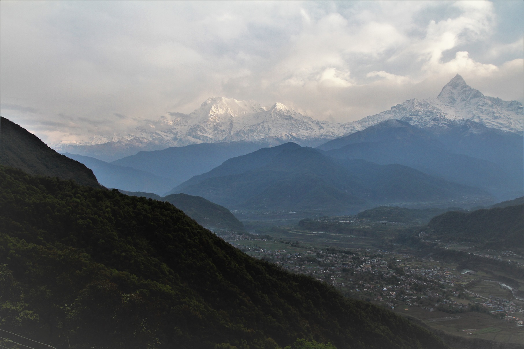
Several years ago, from 2016 to 2020, I had an opportunity to work in Nepal on development projects supported by the World Bank. My work included an Environmental and Social Study for the Kathmandu–Naubise–Mugling Road and Bridges and a SESA/Sustainability Study for the Birgunj–Kathmandu Trade Corridor.
I had the privilege of working with highly qualified Nepalese experts who demonstrated not only outstanding professionalism but also a deep understanding of their country, its environment, and the challenges faced by local communities. Over the years, we have maintained warm relationships, exchanging information and staying in contact on various environmental issues. When the recent catastrophic flash flood occurred in Nepal, one of my first thoughts was about my colleagues and their families. Fortunately, none of my friends or their loved ones were directly affected by the disaster. However, some of them became involved in analysing what had happened and shared with me preliminary information about the possible geomorphological processes behind this tragic event.
I would like to share below a brief analysis provided to me by Mr. Bishnu Maharjan, GIS and Remote Sensing Specialist, Digital Creator, and GIS Lecturer at Nepal Open University together with information contributed by his colleagues.
What caused the catastrophic flood in Nepal on 26 August 2026?
Preliminary analysis by Nepalese scientists and GIS specialists suggests that this disaster was not caused by an earthquake, as was initially believed, and should not simply be described as a conventional glacial lake outburst flood. The available seismic, satellite, and geomorphological evidence indicates that a large mass of rock and glacier ice collapsed from a high-altitude slope in the Langtang Lirung massif. The collapse occurred at approximately 08:37 Nepal Time, at an elevation of about 5,000 metres.
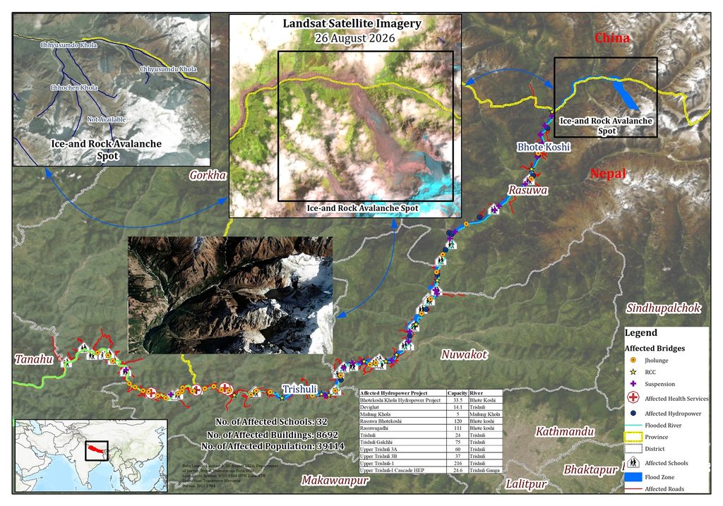
The map of the region was kindly presented by Bishnu Maharjan.
The enormous mass then descended more than 2,000 metres into the Lhende Khola valley. As it moved downhill, it entrained snow, ice, rocks, sediment, and water. The avalanche either directly transformed into a powerful debris-laden flood or temporarily blocked the river before the accumulated water and debris were released downstream. The result was a devastating cascade:
Mountain slope failure → rock and ice avalanche → interaction with the river → possible temporary blockage → debris flow and flood → rapid downstream destruction.
The seismic signal, initially interpreted as a possible earthquake, was later determined to have been generated by the massive collapse itself. This is an important distinction: according to the preliminary evidence, the earthquake did not trigger the disaster—the mountain collapse produced the earthquake-like seismic signal.
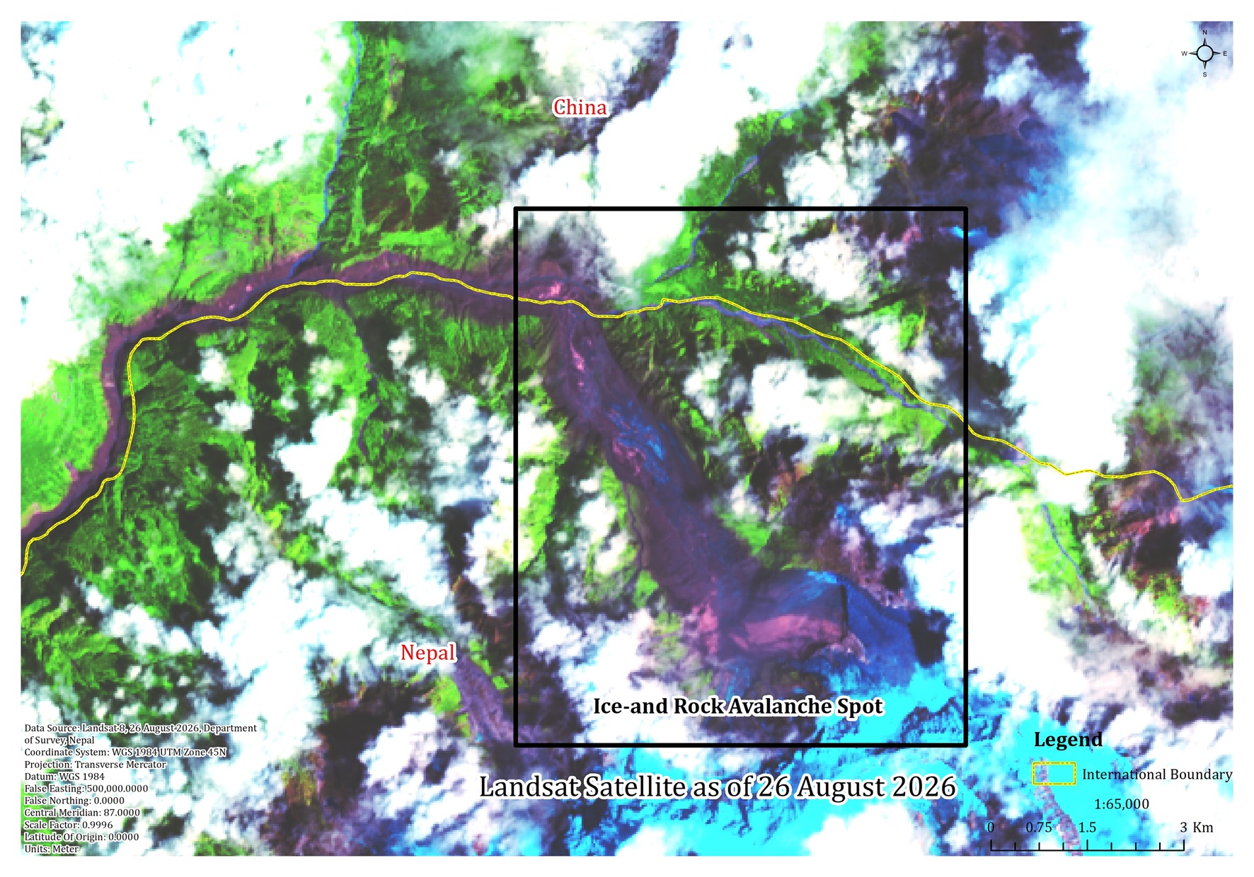
Ice and rock avalanche spot in the day of flash flood. Reference: Bishnu Maharjan – the map produced from Landsat-8.
Satellite images taken before and after the event reveal major changes in the high-altitude source area, including the loss of snow and glacier cover and increased exposure of rock. They also show extensive disturbance along the downstream river corridor.
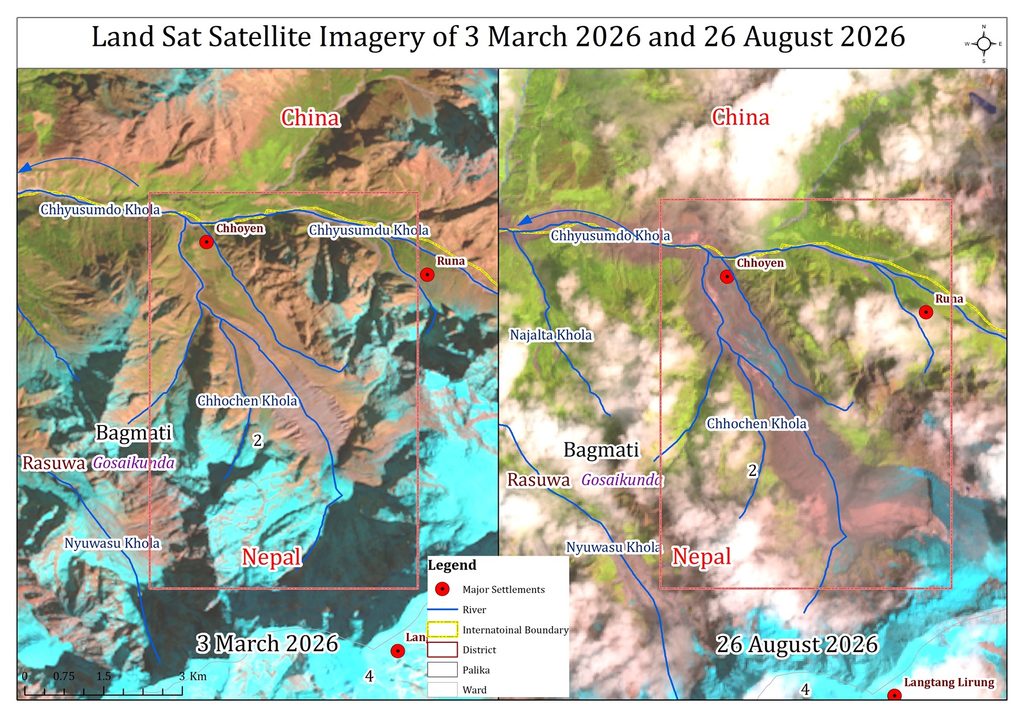
Reference: Bishnu Maharjan from Landsat Satellite Imagery.
The speed of the event was particularly alarming. In the steep and narrow upper valley, the destructive surge travelled downstream within minutes, leaving very little time for warnings. As the valley became wider and the river gradient decreased, the flow gradually slowed, but the flood and debris continued to travel far downstream.
This event demonstrates an important lesson for the Himalayas: mountain disasters are often not caused by a single process. A collapse high in the mountains can rapidly trigger a chain of interconnected hazards involving ice, rock, rivers, sediment, and flooding. Climate change may contribute to increasingly unstable conditions in high mountain environments through glacier retreat, changes in ice and snow, permafrost degradation, and slope instability. However, it is still too early to attribute this particular disaster directly to climate change without detailed event-specific research.
The preliminary analysis highlights the urgent need for integrated monitoring systems in high-risk mountain regions. These should combine satellite observations, seismic monitoring, glacier and slope assessment, river-level sensors, and rapid downstream warning systems.
In the mountains, a few minutes of warning can sometimes save lives.
The maps and satellite images below, prepared and shared by Bishnu Maharjan and his colleagues, help illustrate how a high-altitude mountain collapse developed into a catastrophic downstream disaster. The full material can be find in the article on “Preliminary Geomorphological Assessment of the Bhotekoshi–Trishuli Catastrophic Flood of Nepal”, which will be published soon.
More information can be found on references below:
Acharya, S. (2026). The Bhote Koshi–Trishuli flash flood of 26 August 2026, Rasuwa, Nepal: Warning latency exceeded flood travel time [Preprint]. EarthArXiv. https://eartharxiv.org/repository/view/14687/
Baniya, B., Khadka, N., Sharma, A. P., Maharjan, B., & Karki, J. (2026, August 30). Bhotekoshi–Trishuli flood tragedy: Ice–rock avalanche. Nepal Environment Society. Nepal Environment Society report page
Kathmandu Post. (2026, August 26). Scientists suspect ice avalanche triggered Bhotekoshi flood. Kathmandu Post article
Unfortunately, in high mountain environments, there may be very little time between the triggering event and the arrival of a destructive flood wave downstream. In some cases, it may simply be impossible to predict the exact moment when a landslide, avalanche, or lake outburst will occur. For such areas, the most effective protection may not be an attempt to predict every possible disaster—which is impossible—but rather to identify danger zones in advance, continuously monitor glaciers and glacial lakes, install water-level sensors and seismic stations, and ensure that automatic alerts can be transmitted rapidly to communities downstream.
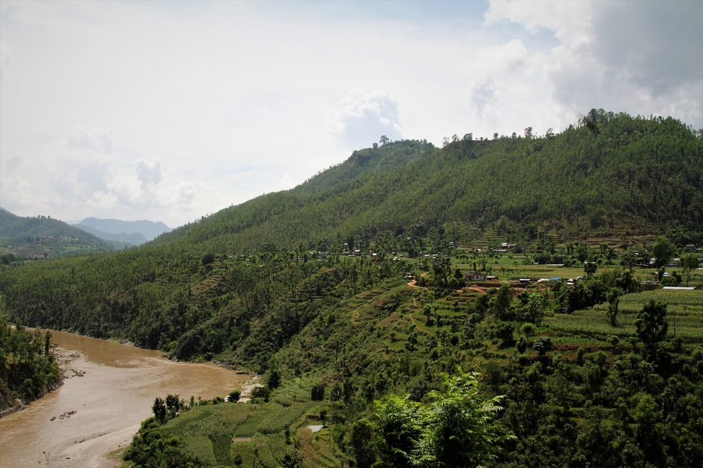
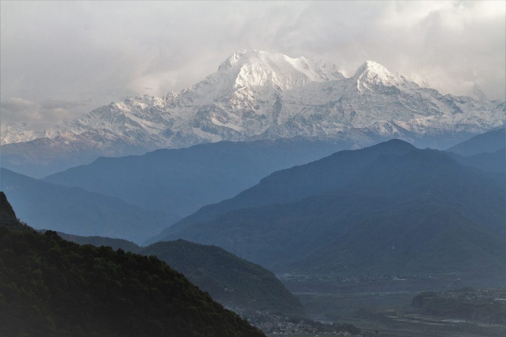
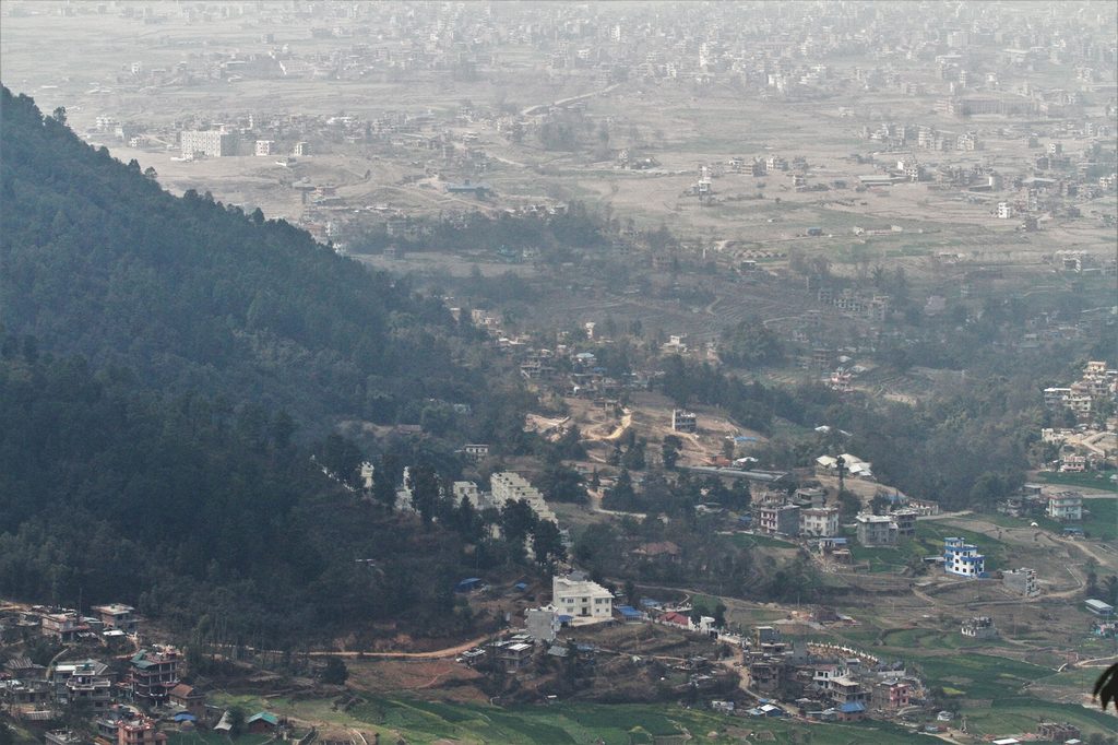
The fragile landscapes of the Himalayas and densely populated mountain valleys create natural hazards that cannot always be avoided—but their devastating consequences can be reduced through effective monitoring, early warning systems, and modern technology. Photos from travel to Nepal in 2016-2019.
From Canada we can help the communities in Nepal affected by flood donating to UNICEF Canada, CARE-Canada, IOM, Canada Helps or other humanitarian organizations supporting people to recover after disastrous flood.